If you’re looking for an Ecuadorian Andes travel guide you can truly use on the ground, this is the one you need. Think of it as chatting with someone who just did the trip—clear, relaxed, and honest about what makes the highlands special. It takes you along the Avenue of the Volcanoes, with an optional detour north, so you can picture distances, altitude shifts, and the character of each stop. We keep health, roads, and weather practical.
EXPLORE OUR LATEST NEWS
04.15.2026
Blog
Why So Much of the World Fits Inside Ecuador’s Reserves

04.06.2026
Galapagos
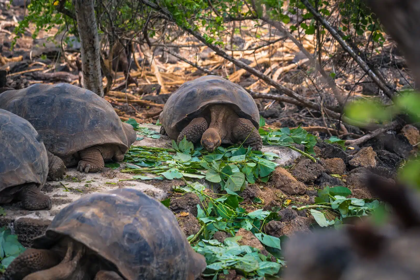
Beyond Galápagos: The Ocean Ecuador Helps Protect With the World
04.02.2026
Blog
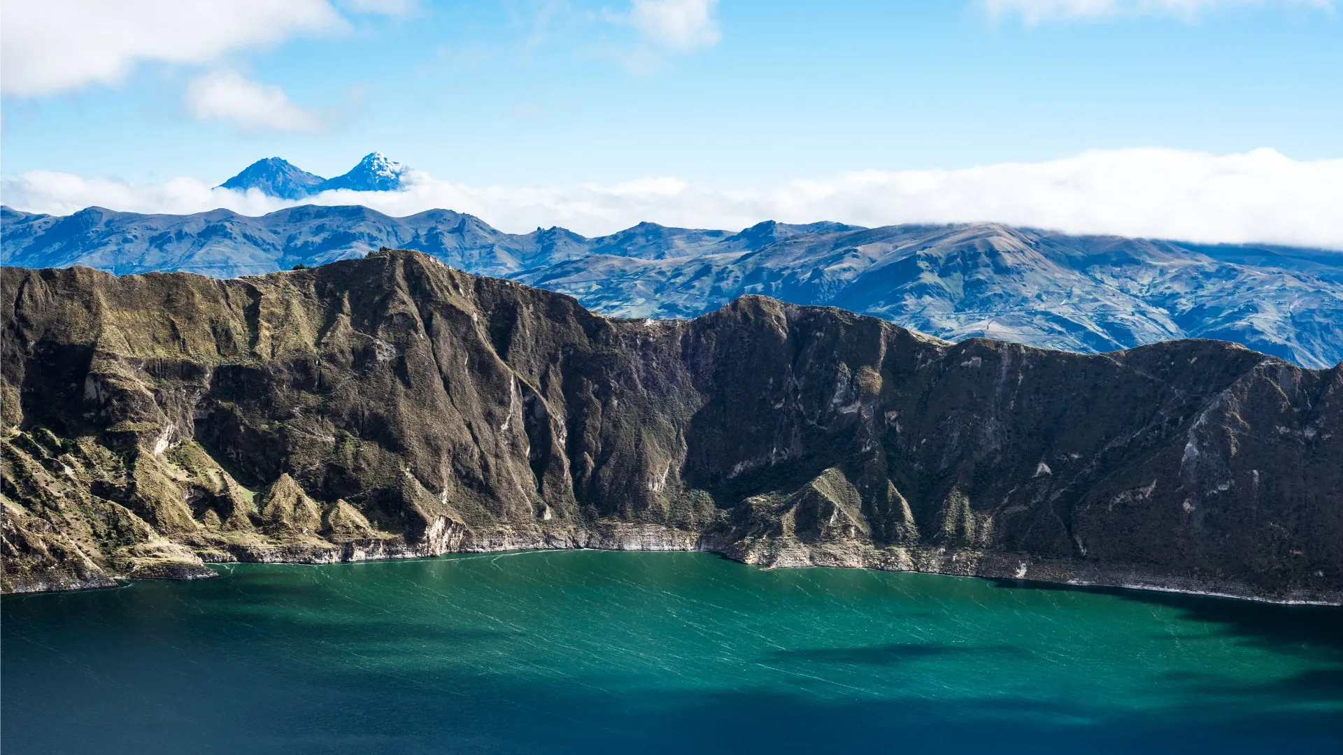
The Great lakes and Lagoons of South America: Landscapes Rich in History, Culture, and Nature
02.18.2026
Blog
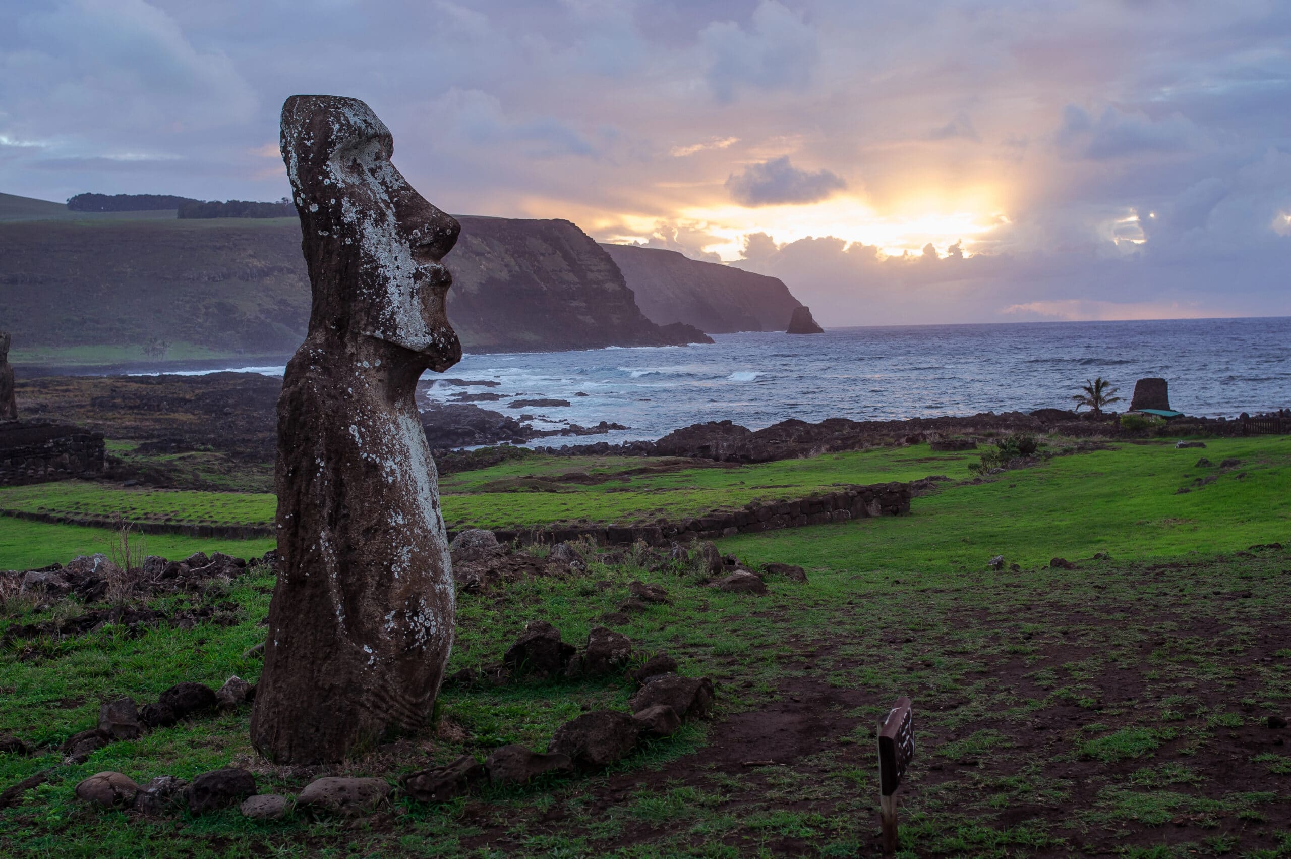
Easter Island: The Hidden Secrets of the Ancient Stone Giants
02.18.2026
Blog
Romantic Places in Latin America for a Dream Valentine’s Trip
01.05.2026
Blog
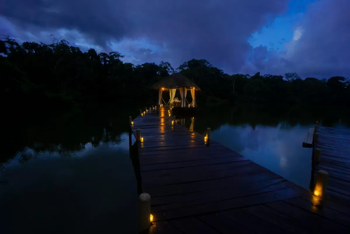
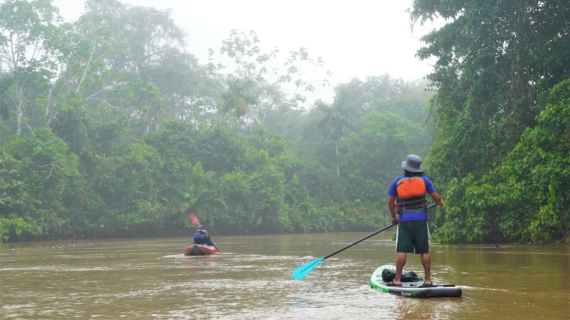
Sustainable Travel Through Ecuador’s Protected Amazon Areas
TOP RATED CONTENT
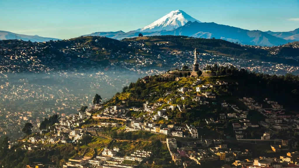
QUITO (2,850 M): ACCLIMATIZE WITH A VIEW
Land, take a deep breath, and allow your body a day of rest. At an elevation of 2,850 m / 9,350 ft, Quito invites you to explore its historic center. Take a stroll through the charming streets, and if you’re up for it, ride the TelefériQo. Remember to stay hydrated—drink more water than you might expect! When you experience a headache or mild nausea, take a moment to slow down; these sensations are common at this height.
Altitude reality assessment: Gradually ascend when possible, take breaks if symptoms arise, and steer clear of heavy exertion or alcohol initially.
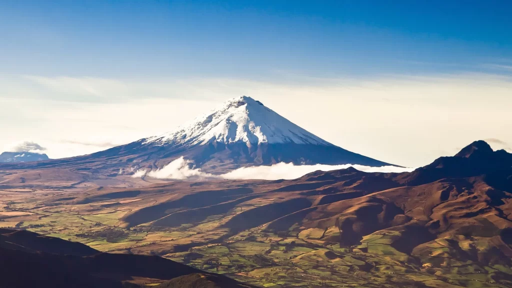
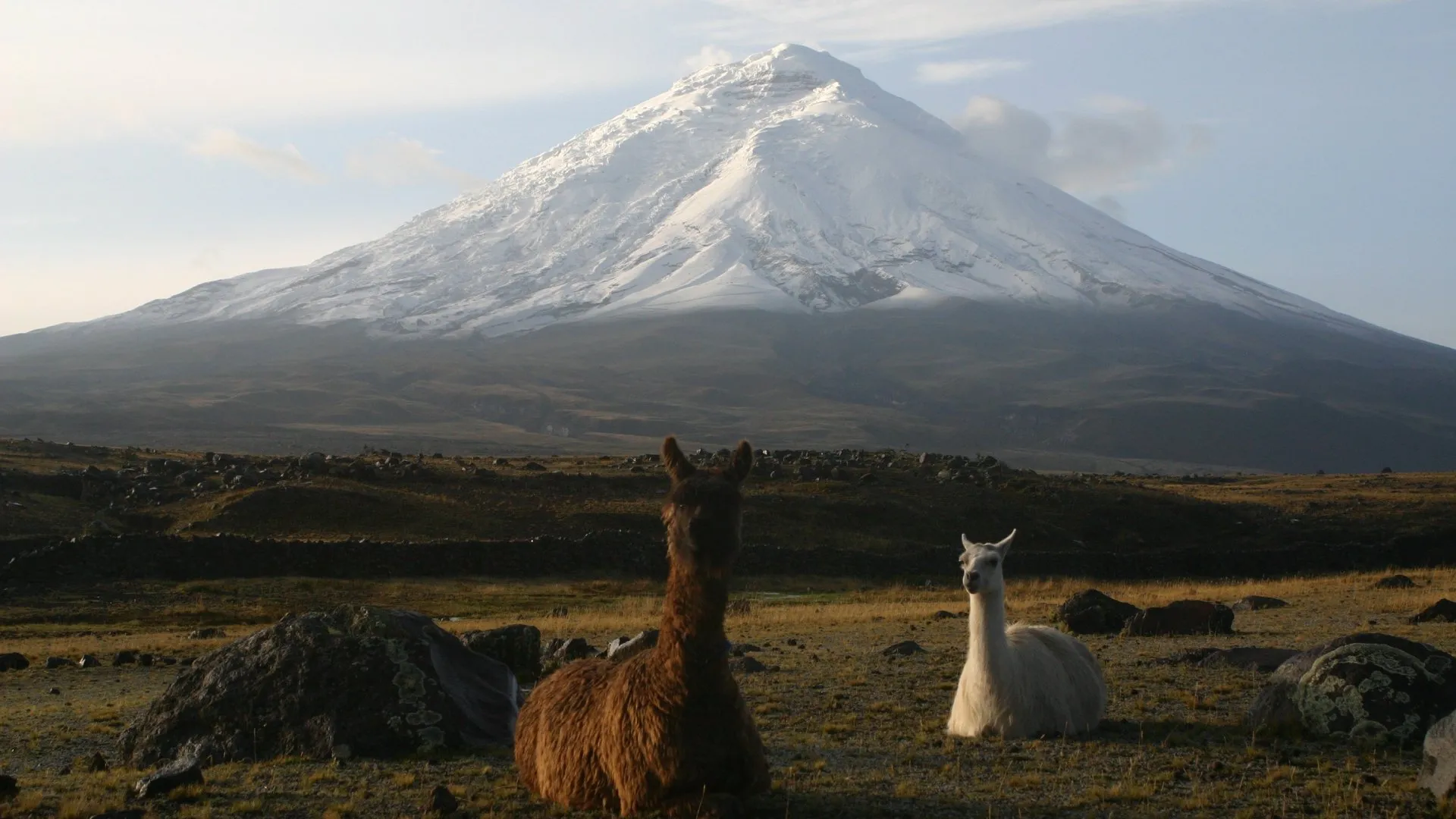
COTOPAXI NATIONAL PARK (3,600–4,800 M): RAW ALTITUDE, BIG HORIZONS
Clean lines draw you in—snow, ash, sky. Many travelers begin their journey at the north gate, take a moment to stretch their legs at Limpiopungo Lake, and then head to the parking lot beneath the José Rivas refuge for a brief, invigorating hike, provided conditions and personal fitness permit. Access to the park can shift rapidly following storms or avalanches, a reality every Ecuadorian Andes travel enthusiast should keep in mind.
The winds will surprise you with their intensity. Dress in layers, don a windproof shell, and don’t forget to bring hot tea. If you feel woozy, make your way down—it’s not about proving your toughness.
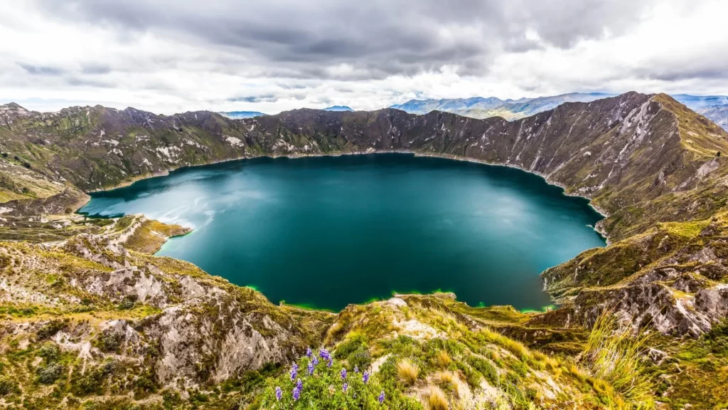
QUILOTOA LOOP (3,800 M RIM): COMMUNITIES AND CRATER BLUES
The turquoise caldera looks like a postcard, yet the true enchantment lies in the loop of highland villages—Sigchos, Isinliví, Chugchilán—connected by mule tracks and welcoming homestays. Hike from ridge to ridge when the weather is stable. Sip canelazo and watch as clouds wrap around the crater. Local buses run frequently, and while some road segments may be narrow and foggy, driving during daylight proves to be the best choice.
BAÑOS (1,820 M): WATERFALLS, WARM NIGHTS, AND A RESET
Arriving in Baños brings a tropical vibe. Rent a bike for the Ruta de las Cascadas, take a moment to enjoy Pailón del Diablo, and if you’re feeling adventurous, give canyoning or a zip-line run a try! Tungurahua may not be in the spotlight right now, but remember that mountain weather holds the reins. Stay informed by checking regional alerts on the government’s multi-agency platform before making any big plans.

RIOBAMBA & CHIMBORAZO (UP TO 5,000 M BY ROAD): CLOSEST POINT TO THE SUN
The summit of Chimborazo stands as the farthest point from the Earth’s center, and the journey to the second refuge evokes a lunar landscape. Pause frequently, take a sip of water, and allow the vicuñas to grace the horizon. The official tourism board highlights Chimborazo as the centerpiece of the corridor—make it your focal point for a memorable day between Baños and Cuenca.

ALAUSÍ (2,340 M): RAILS AND RIDGELINES
Alausí captivates with its cobbled streets and breathtaking switchback views leading into the Nariz del Diablo canyon. Although the historic train may not be running, the ridges provide stunning photo opportunities and inviting short hikes—perfect for anyone continuing their Ecuadorian Andes travel.

CUENCA (2,560 M) & EL CAJAS NATIONAL PARK
Cuenca invites you to savor its charm—stone bridges, Andean kitchens, and a leisurely pace await. Nearby El Cajas offers a refreshing change: cold lagoons, lush sponge grass, and swift storms. Hike the marked trails and always carry a waterproof shell, even on those bright, blue-sky mornings. The altitude reaches nearly 4,000 m on various circuits, so remember to pace yourself and enjoy snacks frequently.

OPTIONAL NORTHBOUND ARC: OTAVALO & COTACACHI
If you have some extra days before or after your time in Quito, consider heading north. Otavalo’s market hums best early, and nearby Cuicocha offers a neat crater-rim circuit with lake views. If you prefer a gradual approach, this acclimatization ladder offers a gentler way to prepare before tackling Cotopaxi.

MOVING AROUND: ROADS, WEATHER, TIMING
Andean roads offer a solid experience, yet the mountains often take the lead—fog, slides, and occasional closures add to the adventure. To ensure real-time checks that locals truly rely on, combine ECU-911, the Transport Ministry road status updates, and the national alerts portal that brings together weather and hazard information. If someone is slow to update, another person typically has it covered. Drive during the day, slow down for livestock, and avoid racing against the dusk.
ALTITUDE, HEALTH, AND FEELING YOUR BEST
At altitude, simplicity prevails: hydrate, choose light meals, and prioritize walking over sprinting. When mild symptoms arise—like a headache or fatigue—take the time to rest and hydrate; they typically pass quickly. Should symptoms worsen, make your way down.
Even on gray days, the sun’s UV rays remain sharp. Stay protected by reapplying sunscreen and wearing a brimmed hat. At 4,000 m, the windchill can be harsh, so prepare by packing a straightforward three-layer system: a wicking base, a warm mid-layer, and a wind/rain shell. You will find it useful everywhere, from Teleférico to Cajas.

GUIDES, OPERATORS, AND TRAVELING RESPONSIBLY
For highland trekking or cultural day trips, choosing the right guide shapes your experience. Local community guides bring stories and insights you won’t find in any app, so we recommend selecting Responsible Travel S.A., who work with local operators prioritizing both safety and sustainable practices. Supporting responsible travel here helps protect the land, water sources, and local livelihoods.
WHY “VERIFY BEFORE YOU GO” ISN’T OVERKILL
The statuses of parks and roads change frequently. In March 2025, Cotopaxi experienced temporary access restrictions due to an avalanche. As conditions improved, policies adapted accordingly. Here, we embrace fast-moving weather and quick decisions as part of our everyday life. A quick morning check ensures your plan remains enjoyable and adaptable.

A SIMPLE 7-DAY FLOW (ADAPT IT FREELY)
Day 1–2: Quito — light walking, TelefériQo if you feel good.
Day 3: Cotopaxi — Limpiopungo + short hike; descend to warmer air for the night.
Day 4: Quilotoa Loop — rim views or village hike; continue to Baños.
Day 5: Baños — waterfalls by bike or shuttle; soak and sleep.
Day 6: Riobamba / Chimborazo — scenic drive and vicuña spotting.
Day 7: Cuenca / El Cajas — city stroll + high-lake loop if weather and energy align.
What you’ll take home
This journey through the Andes is more than distances or altitude—it’s the clarity of Cotopaxi clouds at noon, the quiet in Cajas, and the steady pace of Cuenca after days among giants. Travel with awareness, and your Ecuadorian Andes travel will leave you with a deeper connection to the highlands and their people.
Frequently Asked Questions About Ecuadorian Andes Travel
What is the best time to visit the Ecuadorian Andes?
April–July for high water activities; August–February for trails and wildlife spotting.
How should I acclimatize in Quito?
Rest a day, stay hydrated, and avoid heavy exertion or alcohol at first.
Do I need a guide for trekking?
Local community guides add cultural insights; for safety and responsible travel, consider trusted operators.
What clothing should I pack?
Layered clothing: wicking base, warm mid-layer, wind/rain shell; sun protection is essential.
Are roads safe to drive?
Andean roads are mostly good but can have fog, slides, and closures; drive by day and check updates.
Are wildlife sightings guaranteed?
No, but early mornings and late afternoons improve chances of spotting vicuñas, birds, and other species.
If you’re looking for an Ecuadorian Andes travel guide you can truly use on the ground, this is the one you need. Think of it as chatting with someone who just did the trip—clear, relaxed, and honest about what makes the highlands special. It takes you along the Avenue of the Volcanoes, with an optional detour north, so you can picture distances, altitude shifts, and the character of each stop. We keep health, roads, and weather practical.
QUITO (2,850 M): ACCLIMATIZE WITH A VIEW
Land, take a deep breath, and allow your body a day of rest. At an elevation of 2,850 m / 9,350 ft, Quito invites you to explore its historic center. Take a stroll through the charming streets, and if you’re up for it, ride the TelefériQo. Remember to stay hydrated—drink more water than you might expect! When you experience a headache or mild nausea, take a moment to slow down; these sensations are common at this height.
Altitude reality assessment: Gradually ascend when possible, take breaks if symptoms arise, and steer clear of heavy exertion or alcohol initially.
COTOPAXI NATIONAL PARK (3,600–4,800 M): RAW ALTITUDE, BIG HORIZONS
Clean lines draw you in—snow, ash, sky. Many travelers begin their journey at the north gate, take a moment to stretch their legs at Limpiopungo Lake, and then head to the parking lot beneath the José Rivas refuge for a brief, invigorating hike, provided conditions and personal fitness permit. Access to the park can shift rapidly following storms or avalanches, a reality every Ecuadorian Andes travel enthusiast should keep in mind.
The winds will surprise you with their intensity. Dress in layers, don a windproof shell, and don’t forget to bring hot tea. If you feel woozy, make your way down—it’s not about proving your toughness.
QUILOTOA LOOP (3,800 M RIM): COMMUNITIES AND CRATER BLUES
The turquoise caldera looks like a postcard, yet the true enchantment lies in the loop of highland villages—Sigchos, Isinliví, Chugchilán—connected by mule tracks and welcoming homestays. Hike from ridge to ridge when the weather is stable. Sip canelazo and watch as clouds wrap around the crater. Local buses run frequently, and while some road segments may be narrow and foggy, driving during daylight proves to be the best choice.
BAÑOS (1,820 M): WATERFALLS, WARM NIGHTS, AND A RESET
Arriving in Baños brings a tropical vibe. Rent a bike for the Ruta de las Cascadas, take a moment to enjoy Pailón del Diablo, and if you’re feeling adventurous, give canyoning or a zip-line run a try! Tungurahua may not be in the spotlight right now, but remember that mountain weather holds the reins. Stay informed by checking regional alerts on the government’s multi-agency platform before making any big plans.
RIOBAMBA & CHIMBORAZO (UP TO 5,000 M BY ROAD): CLOSEST POINT TO THE SUN
The summit of Chimborazo stands as the farthest point from the Earth’s center, and the journey to the second refuge evokes a lunar landscape. Pause frequently, take a sip of water, and allow the vicuñas to grace the horizon. The official tourism board highlights Chimborazo as the centerpiece of the corridor—make it your focal point for a memorable day between Baños and Cuenca.
ALAUSÍ (2,340 M): RAILS AND RIDGELINES
Alausí captivates with its cobbled streets and breathtaking switchback views leading into the Nariz del Diablo canyon. Although the historic train may not be running, the ridges provide stunning photo opportunities and inviting short hikes—perfect for anyone continuing their Ecuadorian Andes travel.
CUENCA (2,560 M) & EL CAJAS NATIONAL PARK
Cuenca invites you to savor its charm—stone bridges, Andean kitchens, and a leisurely pace await. Nearby El Cajas offers a refreshing change: cold lagoons, lush sponge grass, and swift storms. Hike the marked trails and always carry a waterproof shell, even on those bright, blue-sky mornings. The altitude reaches nearly 4,000 m on various circuits, so remember to pace yourself and enjoy snacks frequently.
OPTIONAL NORTHBOUND ARC: OTAVALO & COTACACHI
If you have some extra days before or after your time in Quito, consider heading north. Otavalo’s market hums best early, and nearby Cuicocha offers a neat crater-rim circuit with lake views. If you prefer a gradual approach, this acclimatization ladder offers a gentler way to prepare before tackling Cotopaxi.
MOVING AROUND: ROADS, WEATHER, TIMING
Andean roads offer a solid experience, yet the mountains often take the lead—fog, slides, and occasional closures add to the adventure. To ensure real-time checks that locals truly rely on, combine ECU-911, the Transport Ministry road status updates, and the national alerts portal that brings together weather and hazard information. If someone is slow to update, another person typically has it covered. Drive during the day, slow down for livestock, and avoid racing against the dusk.
ALTITUDE, HEALTH, AND FEELING YOUR BEST
At altitude, simplicity prevails: hydrate, choose light meals, and prioritize walking over sprinting. When mild symptoms arise—like a headache or fatigue—take the time to rest and hydrate; they typically pass quickly. Should symptoms worsen, make your way down.
Even on gray days, the sun’s UV rays remain sharp. Stay protected by reapplying sunscreen and wearing a brimmed hat. At 4,000 m, the windchill can be harsh, so prepare by packing a straightforward three-layer system: a wicking base, a warm mid-layer, and a wind/rain shell. You will find it useful everywhere, from Teleférico to Cajas.
GUIDES, OPERATORS, AND TRAVELING RESPONSIBLY
For highland trekking or cultural day trips, choosing the right guide shapes your experience. Local community guides bring stories and insights you won’t find in any app, so we recommend selecting Responsible Travel S.A., who work with local operators prioritizing both safety and sustainable practices. Supporting responsible travel here helps protect the land, water sources, and local livelihoods.
WHY “VERIFY BEFORE YOU GO” ISN’T OVERKILL
The statuses of parks and roads change frequently. In March 2025, Cotopaxi experienced temporary access restrictions due to an avalanche. As conditions improved, policies adapted accordingly. Here, we embrace fast-moving weather and quick decisions as part of our everyday life. A quick morning check ensures your plan remains enjoyable and adaptable.
A SIMPLE 7-DAY FLOW (ADAPT IT FREELY)
Day 1–2: Quito — light walking, TelefériQo if you feel good.
Day 3: Cotopaxi — Limpiopungo + short hike; descend to warmer air for the night.
Day 4: Quilotoa Loop — rim views or village hike; continue to Baños.
Day 5: Baños — waterfalls by bike or shuttle; soak and sleep.
Day 6: Riobamba / Chimborazo — scenic drive and vicuña spotting.
Day 7: Cuenca / El Cajas — city stroll + high-lake loop if weather and energy align.
What you’ll take home
This journey through the Andes is more than distances or altitude—it’s the clarity of Cotopaxi clouds at noon, the quiet in Cajas, and the steady pace of Cuenca after days among giants. Travel with awareness, and your Ecuadorian Andes travel will leave you with a deeper connection to the highlands and their people.
Frequently Asked Questions About Ecuadorian Andes Travel
What is the best time to visit the Ecuadorian Andes?
April–July for high water activities; August–February for trails and wildlife spotting.
How should I acclimatize in Quito?
Rest a day, stay hydrated, and avoid heavy exertion or alcohol at first.
Do I need a guide for trekking?
Local community guides add cultural insights; for safety and responsible travel, consider trusted operators.
What clothing should I pack?
Layered clothing: wicking base, warm mid-layer, wind/rain shell; sun protection is essential.
Are roads safe to drive?
Andean roads are mostly good but can have fog, slides, and closures; drive by day and check updates.
Are wildlife sightings guaranteed?
No, but early mornings and late afternoons improve chances of spotting vicuñas, birds, and other species.
EXPLORE OUR LATEST NEWS
04.15.2026
Blog
Why So Much of the World Fits Inside Ecuador’s Reserves
04.06.2026
Galapagos
Beyond Galápagos: The Ocean Ecuador Helps Protect With the World
04.02.2026
Blog
The Great lakes and Lagoons of South America: Landscapes Rich in History, Culture, and Nature
02.18.2026
Blog
Easter Island: The Hidden Secrets of the Ancient Stone Giants
02.18.2026
Blog
Romantic Places in Latin America for a Dream Valentine’s Trip
01.05.2026
Blog
Sustainable Travel Through Ecuador’s Protected Amazon Areas