Responsible Travel

Why So Much of the World Fits Inside Ecuador’s Reserves

04.15.2026

BY Christopher Suquillo

BlogAmazonAndesGalapagosEcuador

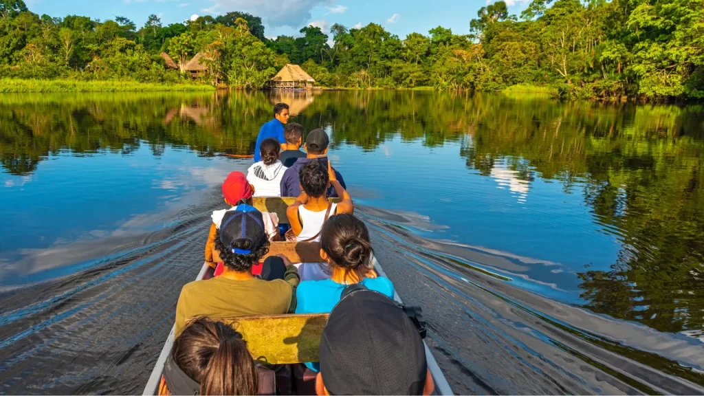
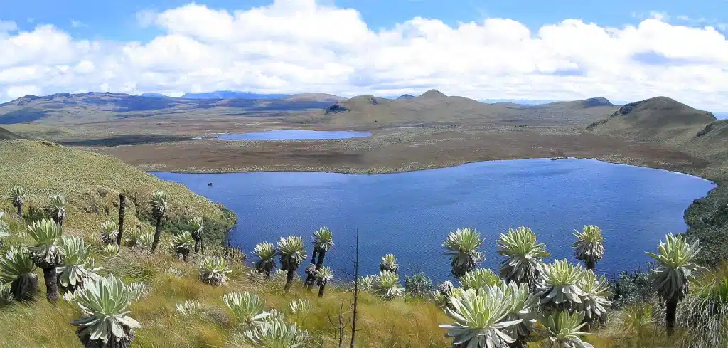
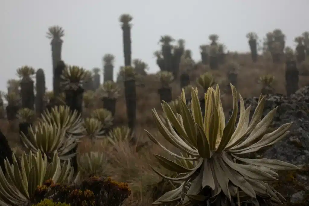
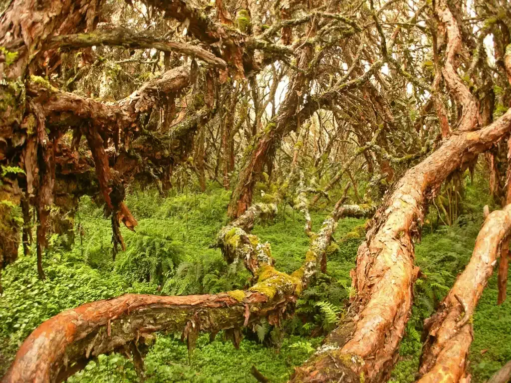
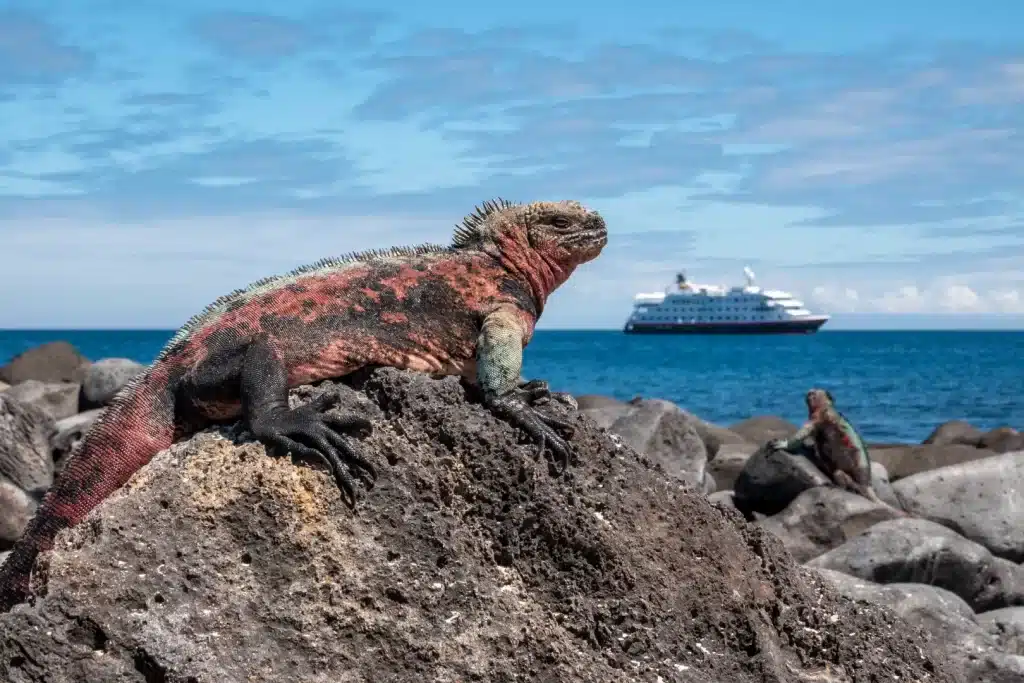
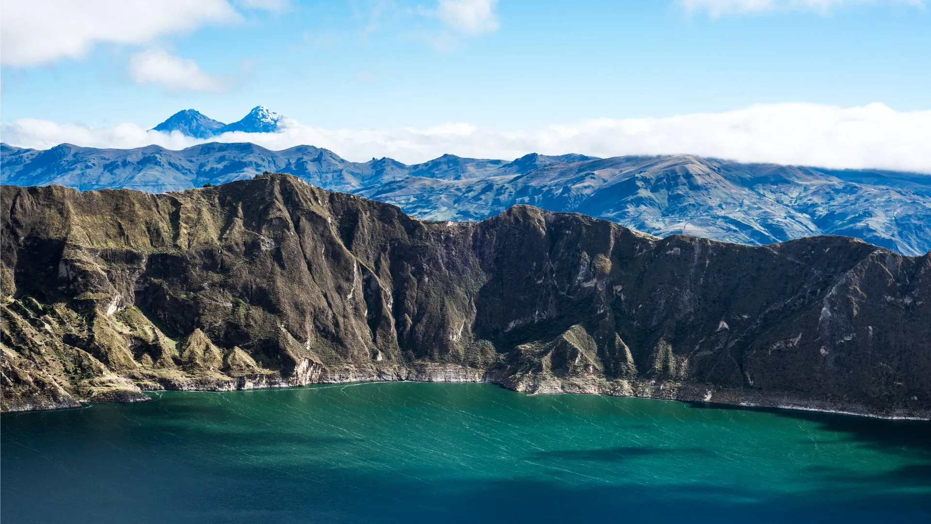
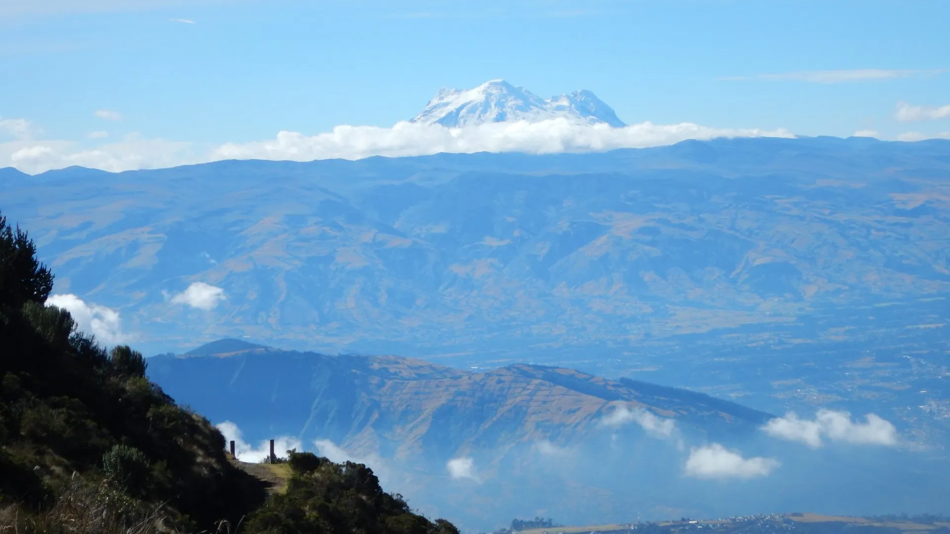
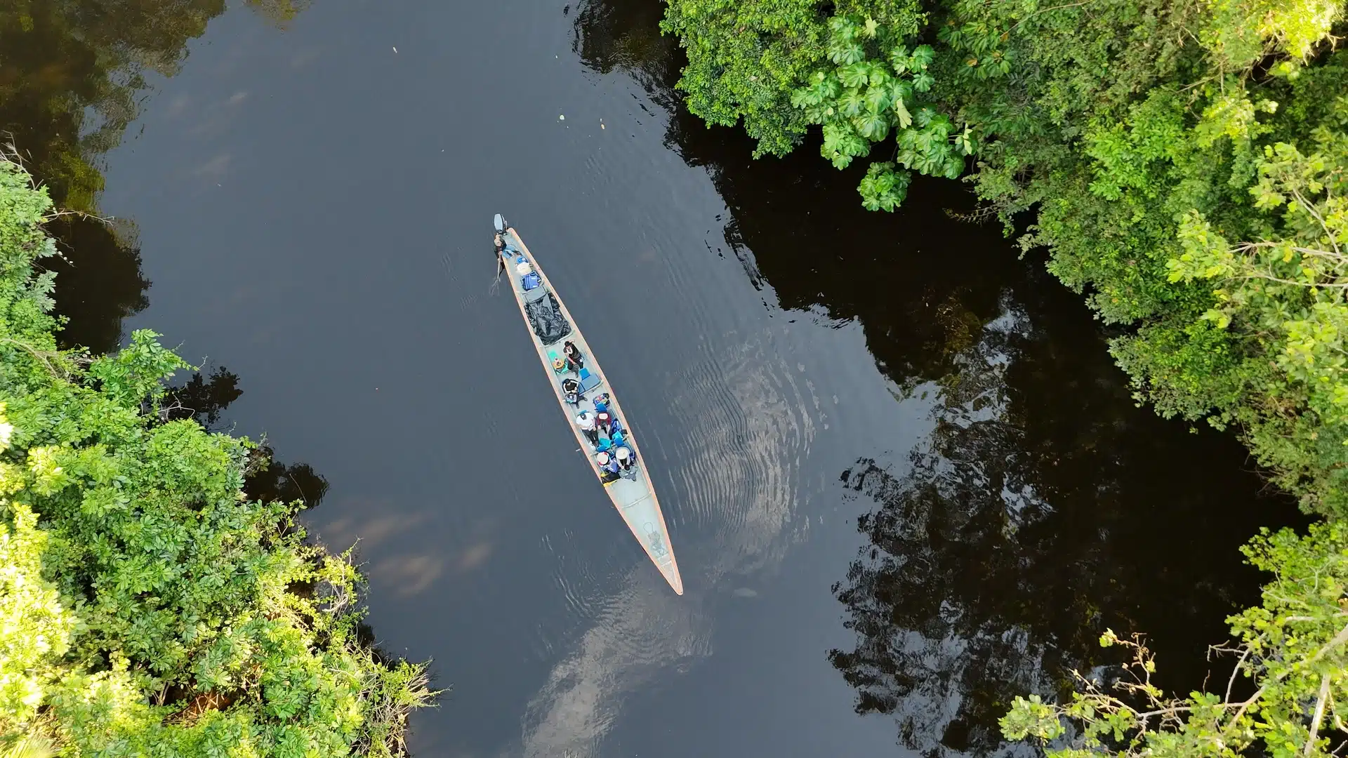
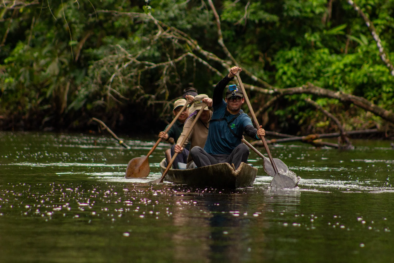
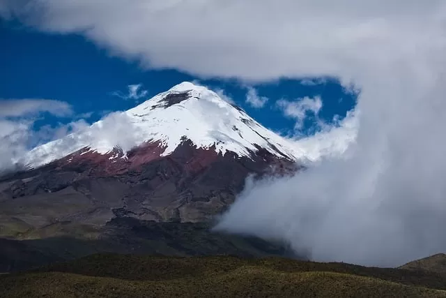
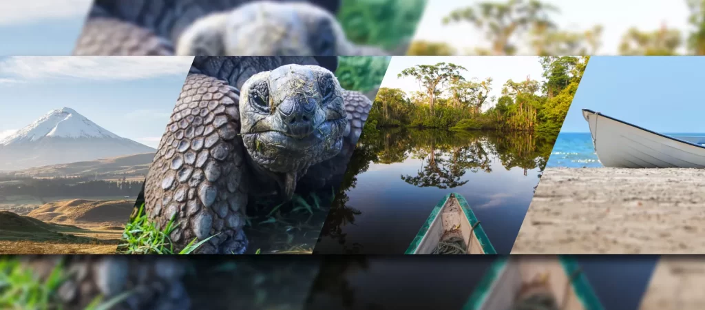
Ecuador may look small on the map, but it’s as if several countries had merged into one. Within a geographically compact area, the landscape transitions from the mangroves and dry forests of the Pacific to the Andean páramo, the cloud forest, the Amazon rainforest, and the volcanic islands of the Galápagos.

This concentration of elevations, climates, and landscapes helps explain why Ecuador is recognized as one of the world’s megadiverse countries. Official biodiversity profiles describe the country as a place shaped by its location in the Neotropics, the presence of the Andes, and the influence of ocean currents, with four major natural regions and at least 91 types of ecosystems.

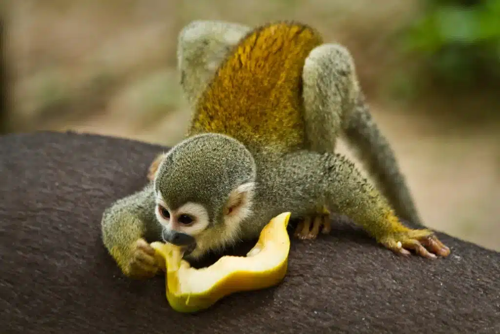
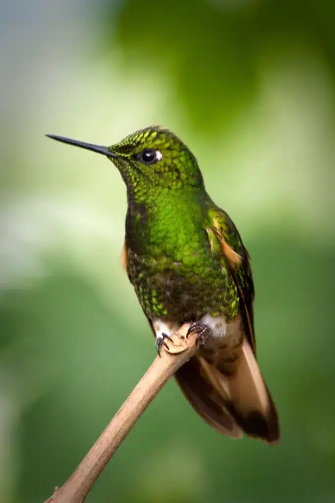
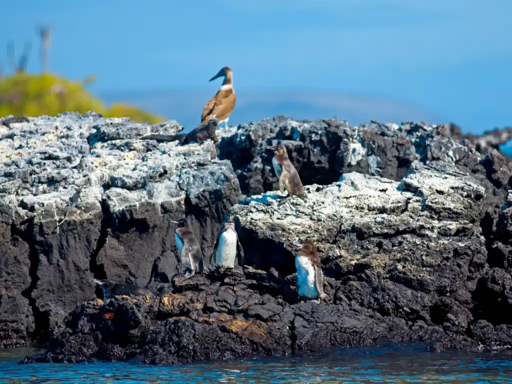
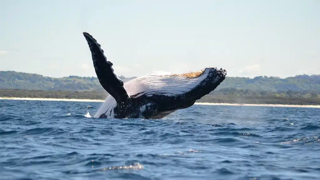
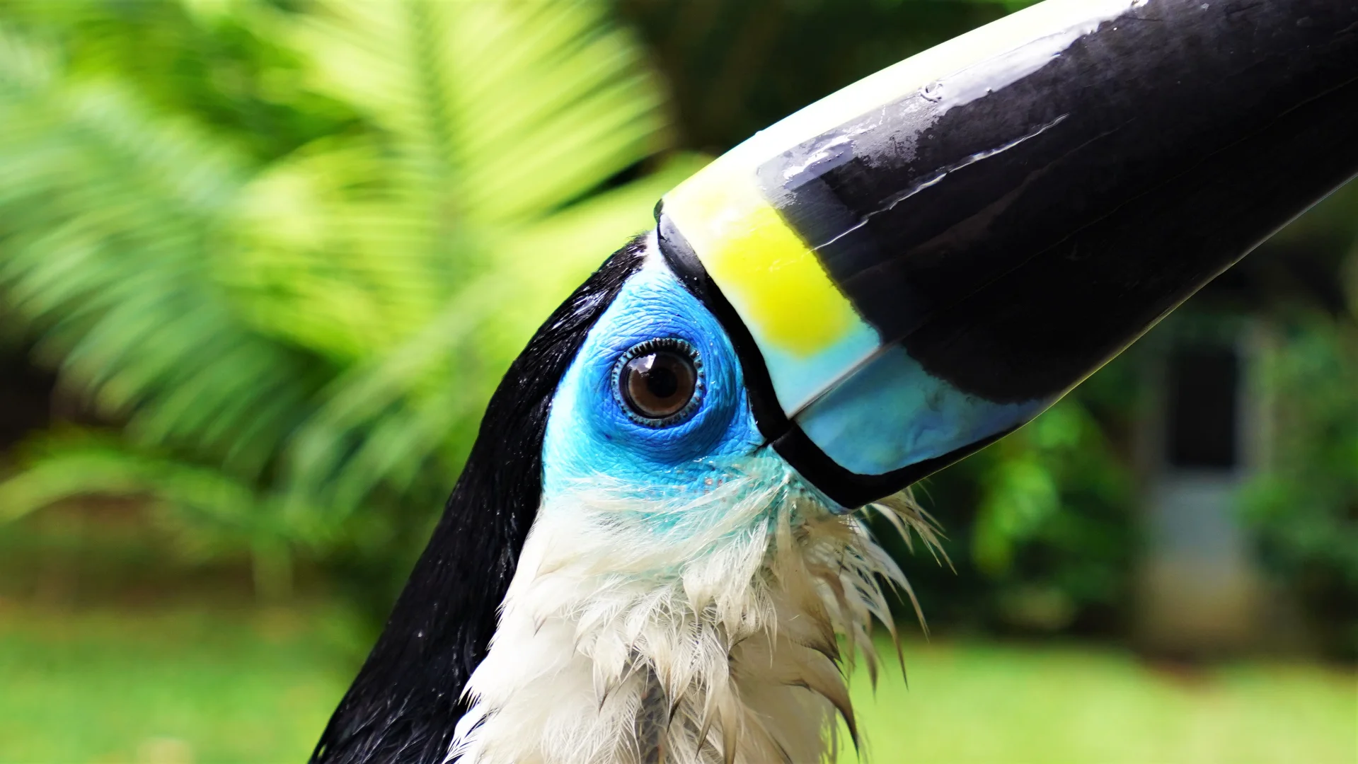
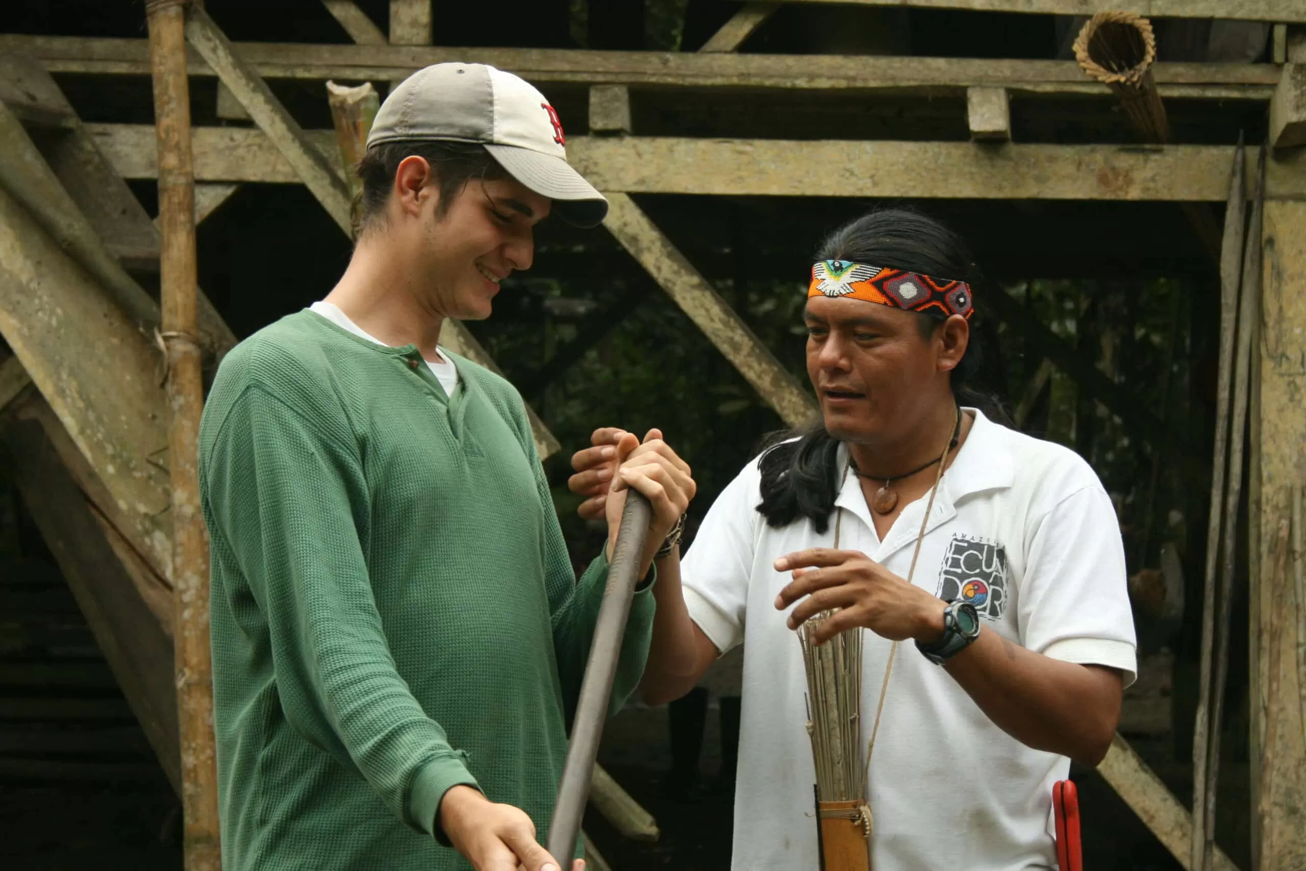
That is what makes Ecuador’s reserves so fascinating. Some protect mangroves, wetlands, and marine life. Others protect páramos, cloud forests, dry forests, or species found nowhere else on Earth. Together, they reveal more than just a landscape: how a small country became one of the most concentrated expressions of biological diversity on the planet.

WHERE PROTECTION TAKES SHAPE

There are people who traverse it, study it, defend it, and make decisions to ensure that this space remains intact. Sometimes they are park rangers. Sometimes they are technicians, researchers, brigades, guides, or local residents who end up being the first to notice a change in the water, in the forest, or in the presence of a species.

There are also rules. Some seem small from the outside, but they serve a much greater purpose: maintaining balance. The ecology determines access, creatures that cannot be disturbed, routes, and activities. None of this exists to complicate the visit. It exists so that the reserve can continue to function as a refuge.

And while all that is happening, life continues on a scale that is almost never seen in its entirety. Leaves fall, turn to soil, water flows, seeds travel, animals feed, and the ecosystem continues to complete its own cycles. A reserve protects that silent movement. That which is almost imperceptible, yet sustains

For those interested in learning more about land management, we provide detailed technical data on our protected areas. This information comes from the Geographic and Statistical Atlas of the Environment and Water Resources, a publication that compiles comprehensive studies on biodiversity and water in the country.

It is worth noting that this database is made possible by the ongoing geographic studies and monitoring conducted by the Military Geographic Institute (IGM).

A tranquil river landscape in the Amazon Basin, surrounded by dense jungle vegetation.
Serene and powerful, the rivers of the Amazon Basin carve through one of the most biodiverse regions on Earth.

A PROTECTED AREA AS A RESERVE

Ecuador’s protected areas are categorized into two distinct classifications, and each answers a different question:

SUBSYSTEMS

They answer: Who manages and cares for the area?

Here comes the official SNAP division into:

  • 56 state-managed areas
  • 8 areas managed by decentralized autonomous governments (GAD)
  • 3 community-managed areas
  • 11 privately managed areas

In total, the system comprises 78 protected areas.

Spectacled bear leaning against a tree in Andean forest habitat
The spectacled bear is one of the most emblematic mammals of the Andes and part of the wildlife associated with protected areas like El Ángel.

MANAGEMENT CATEGORIES

These address: What is being protected, and what level of human use is permitted?

Here we find categories such as:

CategoryApproximate NumberMain PurposeTypical SizeProtection Level / Permitted Human UseExamples
National Parks14Protect large-scale landscapes and entire ecosystems of high national and international value.Very large (> 10,000 ha)High. Allows regulated sustainable tourism, research, and education.Yasuní, Galápagos, Cotopaxi, Sangay, Cayambe-Coca, Sumaco, Podocarpus
Ecological Reserves7–9Protect fragile or unique ecosystems (páramo, mangroves, cloud forests).Large (> 10,000 ha)Very high. Minimal intervention. Nature tourism is allowed but regulated.El Ángel (frailejones), Antisana, Cayapas-Mataje, Los Ilinizas, Manglares Churute
Wildlife Refuges10–12Protect threatened wildlife species and their specific habitats.Variable (can be small)High. Strong wildlife focus. Tourism is allowed under strict rules to avoid disturbing animals.Pasochoa, La Chiquita, El Pambilar, Manglares El Morro, El Zarza
Biological Reserves5Protect high biological diversity in relatively undisturbed ecosystems for scientific research.Large (> 10,000 ha)Very high. Public access is highly restricted; research and strict conservation are prioritized.Limoncocha, Colonso-Chalupas, El Quimi
National Recreation Areas6Protect landscapes with a stronger emphasis on recreation and tourism.Variable (generally medium-sized)Medium to high. More open to visitors (picnics, beaches, family-friendly trails).El Boliche (near Cotopaxi), Playas de Villamil, etc.
Faunal Production Reserves4Protect wildlife while allowing sustainable use (fishing, regulated hunting, or controlled resource use).LargeMedium. Conservation combined with sustainable resource use.Cuyabeno, Chimborazo
Marine Reserves8Protect marine and coastal ecosystems (mangroves, reefs, breeding areas).Very large (marine)High. Fishing and maritime activities are regulated. Controlled marine tourism is allowed.Galápagos Marine Reserve, Hermandad, Galera-San Francisco
Geobotanical Reserve1Protect geological formations and associated vegetation.Small to mediumHigh. Focus on geology and botany.Pululahua

THE TWO CLASSIFICATIONS OPERATE SIMULTANEOUSLY

A single protected area has both at the same time:

  • a subsystem, which indicates who manages it
  • a management category, which indicates what it protects and how it can be used

THREE RESERVES THAT ILLUSTRATE ECUADOR’S GRANDEUR

Ecuador currently has 78 protected areas within the SNAP, the National System of Protected Areas. To avoid getting lost in such a vast system, here we will focus on three that help us understand it very well: El Ángel, Yasuní, and the Galápagos.

EL ÁNGEL ECOLOGICAL RESERVE

El Ángel belongs to that type of reserve that you can visit and experience up close. It is located in Carchi, at an altitude of 3,644 to 4,768 meters, and encompasses páramo, lagoons, high-Andean wetlands, and Polylepis forests across an area of 15,715 hectares.

El Voladero Lake surrounded by páramo landscape in El Ángel Ecological Reserve
El Voladero is one of the most iconic landscapes in El Ángel and one of the clearest entrances into its high-altitude páramo world.

A LANDSCAPE YOU CAN ACTUALLY EXPLORE

Here, the tourist route winds through places like the Lagunas del Voladero, páramo trails, lookouts, and areas where frailejones dominate the landscape. That is a key part of its appeal: it isn’t just a protected area on the map; it also allows visitors to understand what an Andean ecosystem looks like when it still retains much of its original structure.

WHAT MAKES IT UNFORGETTABLE UPON ARRIVAL

Some reserves impress with their size, and others with the strangeness of the landscape. El Ángel falls into the second category. Its frailejones cover nearly 80% of the area and can reach up to 7 meters in height, making the experience very different from the classic image many have of Ecuador. Added to this are high-altitude lagoons, wetlands, and one of the area’s significant remaining Polylepis forests.

This mix is also evident in the wildlife. Around 320 bird species and mammals such as the spectacled bear, the puma, the white-tailed deer, and the páramo wolf have been recorded in the reserve. Even recent visitors continue to report sightings of condors and other Andean wildlife during their tours.

Páramo landscape with frailejones in El Ángel Ecological Reserve
The frailejones of El Ángel give this reserve one of the most unusual and recognizable landscapes in the Ecuadorian highlands.

WHAT YOU SHOULD KNOW BEFORE HEADING UP

El Ángel is open to visitors, but the páramo sets the pace. Fog, cold, humidity, and trail conditions can drastically alter the experience. Several travel guides recommend visiting during the day, checking the weather carefully, and, if the hike will be longer, doing so with a local guide or with thorough planning. It’s also wise to be prepared for low temperatures, rain, and trails that can become more challenging during the wet season.

WHY IT MATTERS BEYOND THE LANDSCAPE

El Ángel also holds significance beyond tourism. It was designated a Ramsar Site in 2012, an international category recognizing wetlands of high ecological value. In this case, that designation makes perfect sense: the reserve protects lagoons, peatlands, and wetlands that supply water to much of the province of Carchi.

Polylepis forest in El Ángel Ecological Reserve in the northern Ecuadorian Andes
One of the most distinctive ecosystems in El Ángel: high-Andean Polylepis forest shaped by altitude, cold, and constant moisture.

WHAT IS CURRENTLY TESTING THAT PROTECTION

Between 2024 and 2025, the reserve faced major fires that affected large areas of páramo. Even so, the most recent reports also speak of natural regeneration in parts of the damaged frailejones. That tension between fragility and recovery makes El Ángel best understood as a living reserve: a place that remains visitable, valuable, and beautiful, but also exposed to real threats.

  • Subsystem: state-managed
  • Management category: ecological reserve

This means that its administration falls under the state environmental authority and that its primary objective is to protect a fragile ecosystem of páramo, wetlands, and high-altitude Andean forests.

YASUNÍ NATIONAL PARK

Yasuní belongs to that class of protected areas that immediately change the scale of the country. It is located in the Ecuadorian Amazon, between Orellana and Pastaza, and protects a vast expanse of tropical rainforest crisscrossed by rivers, floodplains, and lowland jungle. It was established in 1979 and forms part of the Yasuní Biosphere Reserve, recognized by UNESCO since 1989.

Squirrel monkey moving through forest habitat in Yasuní National Park
Yasuní’s wildlife gives scale to the park’s extraordinary biodiversity, where primates, birds, amphibians, and mammals share the same forest system.

A RESERVE WHERE THE JUNGLE MULTIPLIES

When people talk about Yasuní, the same idea almost always comes up: one of the most biodiverse places on the planet. That statement doesn’t come out of nowhere. Various scientific and conservation sources cite data that help explain why the park is so significant: estimates range from 2,200 to 2,700 species of trees and shrubs, and up to 655 tree species have been recorded in a single hectare a figure often compared to the total native tree species of entire countries in North America.

The fauna is on the same scale. Widely cited sources on Yasuní mention around 596 to 610 bird species, more than 200 mammal species, nearly 500 freshwater fish species, and around 271 amphibian and reptile species. Among them are jaguars, Amazonian tapirs, white-lipped peccaries, numerous primate species, and an enormous diversity of insects.

WHAT A VISIT ENTAILS

Yasuní can indeed be visited, but the experience bears little resemblance to a simple visit to a park accessible by road. Tourist access is typically organized from Francisco de Orellana (El Coca) and continues by river, primarily along the Napo River. Visits are usually conducted with authorized operators, naturalist guides, and lodges or stations in areas designated for nature tourism. River transport, rainforest, hiking, wildlife observation, and Amazonian community visits are covered in several travel guides.

This greatly changes the feel of the place. In Yasuní, part of the journey takes place before you even arrive. The journey itself involves distance, rivers, humidity, time, and a different way of getting around. The park feels more like a living system than a landscape because of this.

WHY ITS IMPORTANCE EXTENDS BEYOND ECUADOR

In Yasuní, international significance does not depend solely on species counts. It is also tied to its role as one of the strongest hubs of tropical biodiversity, the presence of indigenous peoples, and its value within the Yasuní Biosphere Reserve. UNESCO presents it as an Amazonian biosphere reserve with 99.73% of original natural vegetation, and describes it as one of the most biodiverse areas per square meter on the planet.

This makes the park more than just a nationally valuable space. For readers from abroad, Yasuní matters because it brings together science, conservation, indigenous territory, and tropical forest on a scale rarely found elsewhere in the world.

Green hummingbird hovering in the Ecuadorian Amazon rainforest
Birdlife in Yasuní reveals another layer of Amazonian diversity, where even the smallest species help define the richness of the forest.

WHAT IS AT STAKE TODAY

Yasuní is also one of the cases where conservation and pressure on the territory are most visibly at odds. The greatest historical threat has been oil extraction, especially around the ITT block. In August 2023, Ecuadorian citizens voted in a referendum to leave that oil underground, but throughout 2024 and 2025, debates and questions continued regarding compliance with that decision.

At the same time, the park and its surroundings continue to face pressure from deforestation, human expansion, and conflicts over ecological connectivity. In response, during 2025, the Cuyabeno–Yasuní Connectivity Corridor was officially recognized, a measure aimed at strengthening the link between two key areas of the Ecuadorian Amazon. By 2026, the Llanganates–Yasuní corridor was also recognized, reinforcing the connection between the Andes and the Amazon.

WHAT YASUNÍ HELPS US UNDERSTAND ABOUT ECUADOR

If El Ángel helps us understand altitude, Yasuní helps us understand abundance. Not because it “has a lot of everything” in a generic sense, but because it shows the extent to which life can concentrate when geography, climate, forest, and water converge in a single space. That is where the word megadiverse ceases to sound like a label and begins to feel like a concrete reality of the territory.

Subsystem: state

Management category: national park

This means that its administration falls under the state’s environmental authority and that its primary objective is to protect one of the country’s most biodiverse Amazonian territories, combining strict conservation, scientific research, environmental education, and controlled nature tourism.

GALÁPAGOS NATIONAL PARK

Galápagos National Park belongs to that class of protected areas that redefine the concept of a reserve from the very start. Here, protection is shared between land and sea, and this combination makes the archipelago function as one of the planet’s great natural laboratories. The park protects nearly 97% of the islands’ land area, while the population and infrastructure are concentrated in the remaining 3%. It was established in 1959, on the centennial of On the Origin of Species, and became Ecuador’s first protected area.

Galápagos penguins standing on dark volcanic rocks along the coast
The Galápagos penguin is one of the archipelago’s most remarkable species and one of the clearest examples of how isolation shaped life here.

WHERE THE LANDSCAPE BECAME A LABORATORY

The Galápagos impresses not only because of its fame. It impresses because its geology, fauna, and sea continue to explain evolutionary processes that are seen here with rare clarity. UNESCO describes the archipelago as an almost unique example of ecological, evolutionary, and biogeographic processes, where the younger and older islands display distinct stages of volcanic formation and biological adaptation.

This is where some of Ecuador’s best-known species are found: giant tortoises, marine iguanas (the only ones in the world), land iguanas, Darwin’s finches, flying cormorants, and the Galápagos penguin, the northernmost on the planet. In the sea, the reserve protects an enormous diversity of sharks, rays, cetaceans, and other pelagic species linked to the currents of the eastern Pacific. UNESCO records 2,909 identified marine species, with 18.2% endemism, in addition to nearly 500 species of vascular plants, of which about 180 are endemic.

Marine iguana resting on volcanic rock in Galápagos
The marine iguana, found only in Galápagos, captures one of the archipelago’s defining traits: evolution shaped by isolation and extreme conditions.

WHAT IT MEANS TO VISIT

The Galápagos can indeed be visited, but visits operate under much stricter controls than in most of the country’s protected areas. Sites are not freely accessible: there are planned itineraries, quotas, authorized sites, and tourism management systems designed to limit the impact on ecosystems. UNESCO notes that the uninhabited islands operate with carefully designed tours and that the archipelago is managed through permits, quotas, control of introduced species, fishing regulations, and marine surveillance.

This makes the Galápagos particularly relevant to the article, as it demonstrates that a reserve does not always mean a landscape one can simply walk into. Here, the experience depends on clear rules, guides, planning, and a delicate balance between conservation and visitation.

WHY IT MATTERS TO THE WORLD

The Galápagos has been a global benchmark for decades. It was one of the first sites inscribed by UNESCO as a World Heritage Site in 1978, and was later also recognized as a Biosphere Reserve. In October 2025, that biosphere reserve expanded from 14.6 million to 20.6 million hectares with the incorporation of the Hermandad Marine Reserve, reinforcing its role as a hub of ecological connectivity in the eastern Pacific.

This expansion is significant for readers outside the region because it shifts the conversation. The Galápagos are no longer understood merely as a group of extraordinary islands, but as part of a much broader marine protection area, connected to seamounts, migratory routes, and species such as hammerhead sharks, whale sharks, manta rays, and tropical tuna.

Humpback whale breaching above the ocean surface in Ecuador
Humpback whales migrate through Ecuadorian waters, making the country an important part of their route.

WHAT IS CURRENTLY TESTING THAT PROTECTION

As in the country’s other large protected areas, there is tension here as well. UNESCO continues to point out clear threats: invasive species, growing tourism, fishing pressure, complex governance, and human expansion in a territory where around 30,000 people live. The organization itself acknowledges significant concerns, though it also highlights that the system maintains management, control, and financing tools, including participatory plans, tourism regulation, and support from visitor entrance fees.

That is part of what makes the Galápagos so compelling in the article. Here, conservation isn’t limited to famous species. It’s also evident in how the archipelago strives to maintain its uniqueness while dealing with population growth, infrastructure development, global pressure, and ever-increasing tourist interest.

WHAT THE GALÁPAGOS REVEALS ABOUT ECUADOR

The Galápagos makes it clear that an Ecuadorian reserve can also be a territory of global significance. It helps us understand that the country’s natural grandeur does not depend solely on what happens within the Andes or the Amazon, but also on what occurs in a remote archipelago where land and sea form a single system. And that is where the concept of megadiversity shifts scale once again: it no longer speaks only of abundance, but of isolation, evolution, and marine connections that continue to shape life.

  • Subsystem: state
  • Management category: national park

This means that its administration falls under the state’s environmental authority, through the Galápagos National Park Directorate, and that its primary objective is to protect island and marine ecosystems of exceptional value, combining strict conservation, scientific research, environmental education, and controlled tourism.

WHAT THEY REVEAL TOGETHER

Viewed side by side, these three protected areas help explain why Ecuador’s reserves carry such weight within a small territory.

El Ángel concentrates elevation, water, and páramo.

Yasuní opens up the scale of the jungle and of life multiplying in all directions.

Galápagos extends the concept of a reserve to the sea, evolution, and the paths that continue to extend far beyond a single island.

The reserves cease to be scattered names and become a way of interpreting the country: one where the highlands, the jungle, and the ocean each preserve, in their own way, an irreplaceable part of its natural life.